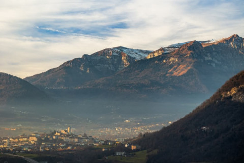
View from Kolovrat towards Čedad, Udine and further towards the Adriatic
KOLOVRAT is a pre-Alpine hill range on the right side of the Soča River, west of Tolmin with the highest peak Kuk (1243 m above sea level) above Livko.
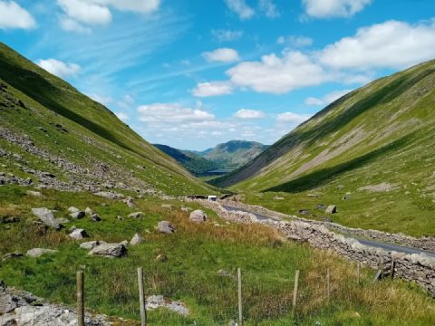
View of Kolovrat from the east. In front is the village of Vrsno.
The mountain ridge is about 7 km long, extends at an altitude of 800 to 1100 m above sea level, between the Soča Valley and Venetian Slovenia, along which the state border between Slovenia and Italy runs from the Liv Pass (690 m above sea level near the settlement of Livek) to the Kamberg Hills.
Kolovrat was the border area between the Venetian Republic or the Kingdom of Italy and Austria-Hungary. After World War II, the border between Italy and the SFR Yugoslavia ran along the Kolovrat ridge, where the Austrian-Italian border ran before 1918. On the sunny slope are Livek and Livške Ravne on the Slovenian side, and on the sunny Italian side there are several hamlets (Dreka, Laze, Trinko, Kras, Lambaj).

 Follow
652
Follow
652